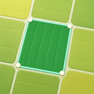
The quickest way to measure land is to place its corners on the satellite map. No GPS is needed, so it works from anywhere, including indoors.
Place the corners
- On the map, tap New measurement, then Area.
- Move the map so the crosshair sits on the first corner, and tap Add point. Repeat for each corner.
- Area and perimeter update as you go, and every side shows its length and bearing on the map.
- Tap Done to see the result.
The crosshair is the default because it keeps the corner visible instead of under your finger. To tap corners directly on the map, set Settings → Default point mode to Map tap.
Edit the shape
- Select a point to move it, center the map on it, insert a point before or after it, or delete it.
- Tap the + in the middle of a side to insert a point there.
- Undo and Redo are in the toolbar, and the Point list shows every point.
Several parts, or holes
A parcel can have more than one part, or something inside it to leave out, such as a pond or a building. Open the area parts menu on the map and choose Add another area or Subtract an area. The result shows the net area and an Area breakdown of each part.
Other shapes
Under More shapes in New measurement:
- Rectangle: place it, then move it or drag a corner to resize it.
- Circle: set a center and a point on the edge to get the area and circumference.
- Line corridor: draw a centerline and set the corridor's full width, for a road, ditch or strip. A saved corridor can later be converted to an editable area.
Save it
On the result page, tap Save and give it a name. See Save and organize measurements. To change the shape later, open the saved measurement and tap Edit shape.